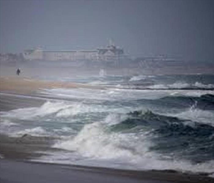
Hurricane Season in the Atlantic City Area
6/19/2018 (Permalink)
Though the national hurricane season normally runs from June 1 through November 30, the peak potential for hurricane and tropical storm activity in New Jersey runs from mid-August through the end of October.
The combination of warm ocean water, humid air, and consistent winds contribute to the formation of “tropical cyclones” – low-pressure systems of circulating winds, clouds and thunderstorms – over the Atlantic Ocean, Caribbean Sea and the Gulf of Mexico.
As they gain strength, these cyclones are classified as tropical depressions, tropical storms or hurricanes. The Saffir-Simpson Hurricane Scale rates hurricane strengths, from Category 1 to Category 5. Most of these storms remain over the ocean without affecting the U.S. coastline. When they approach land, tropical storms and hurricanes can be extremely deadly and destructive – even as far north as New Jersey, and even when they do not make landfall here.
The key threats from an approaching tropical storm or hurricane are WIND, STORM SURGE, FLOODING, and the potential for TORNADOES.
Hurricane WINDS can reach 74-95 mph for a Category 1 storm, to above 155 mph for a Category 5 storm.
The STORM SURGE is a dome of ocean water the hurricane pushes ahead of itself. At its peak, a storm surge can be 25 feet high and 50-100 miles wide. The storm surge can devastate coastal communities as it sweeps ashore.
The thunderstorms and torrential rains that accompany a hurricane can create dangerous and deadly floods or flash floods.
Seventy percent of hurricanes making landfall spawn at least one tornado.
Preparing properly for a hurricane begins long before a storm ever hits.
For additional information for Hurricane preparedness NJ Office of Emergency Management


 24/7 Emergency Service
